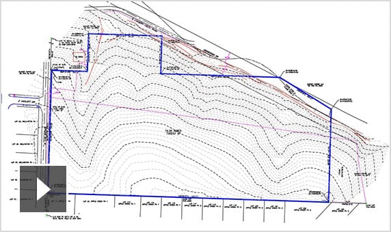
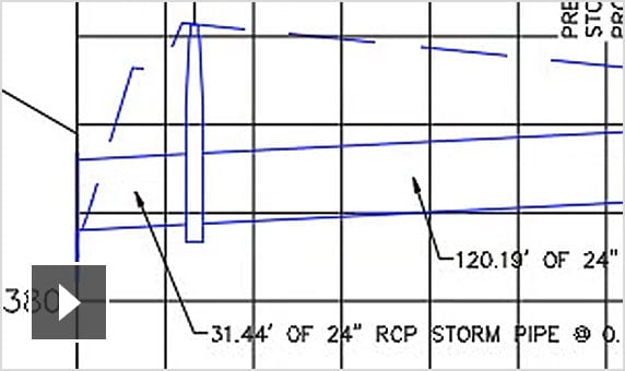
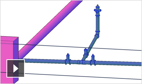
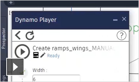
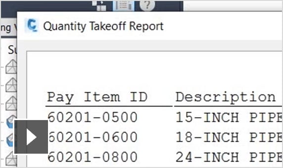
Civil 3D
adsk-otfdl-mobile-user-heading
adsk-otfdl-mobile-user-text
adsk-otfdl-mobile-email-sent-text
adsk-oxygen-trial-download-product-selection-heading
adsk-oxygen-trial-download-product-selection-text
adsk-oxygen-trial-flow-introductory-header
adsk-oxygen-trial-flow-available-platforms-header
adsk-oxygen-trial-flow-systems-requirements-text
adsk-oxygen-trial-flow-trial-file-size-header
adsk-oxygen-trial-flow-recommended-section-header
adsk-oxygen-trial-flow-recommended-section-text
adsk-oxygen-trial-flow-file-viewer-section-header
adsk-oxygen-trial-flow-file-viewer-text
adsk-oxygen-trial-flow-file-viewer-link-text
adsk-oxygen-trial-flow-user-lang-os-intro-header
adsk-oxygen-trial-flow-user-type-intro-text
adsk-oxygen-trial-flow-business-heading
adsk-oxygen-trial-flow-business-text
adsk-oxygen-flow-user-os-selection-single
adsk-oxygen-flow-user-os-selection-multi
adsk-oxygen-flow-user-os-selection-error
adsk-oxygen-trial-flow-user-language-text
adsk-oxygen-trial-flow-edu-license-heading
adsk-oxygen-trial-flow-edu-license-text
adsk-oxygen-trial-flow-personal-user-license-heading
adsk-oxygen-trial-flow-personal-user-license-text
adsk-trial-phone-ver-title
adsk-trial-phone-ver-description
adsk-trial-phone-ver-number-label
adsk-trial-phone-ver-method
adsk-oxygen-trial-flow-voice-cta adsk-oxygen-trial-flow-text-ctaadsk-trial-phone-ver-code adsk-oxygen-trial-flow-resend-cta
trial-ph-ver-err-invalid-code
adsk-oxygen-trial-download-recaptcha
adsk-oxygen-trial-flow-dlm-text
adsk-oxygen-trial-flow-dlm-link-text
adsk-oxygen-trial-flow-dlm-link-text
adsk-otfdl-end-dl-started
adsk-otfdl-end-dl-started-instruction
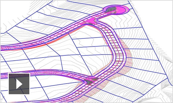
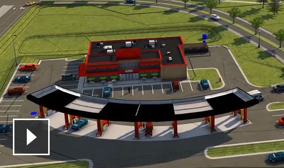
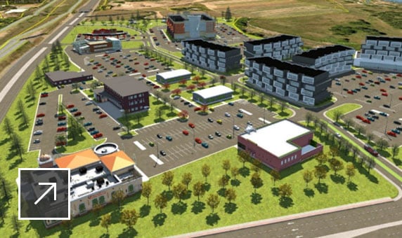
InfraWorks
Geospatial og teknisk BIM-platform til planlægning, design og analyse
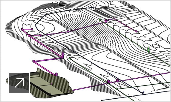
Revit
Planlæg, projektér, konstruer og administrer bygninger med kraftfulde værktøjer til Building Information Modeling.
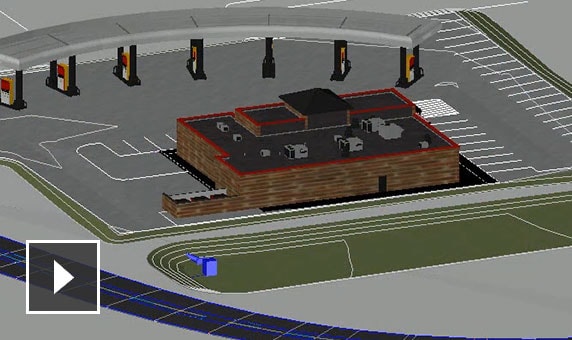
Navisworks Manage
Få kontrol over resultaterne med konfliktregistrering og avanceret koordination, 5D-analyse og simuleringsværktøjer.