& Construction

Integrated BIM tools, including Revit, AutoCAD, and Civil 3D
& Manufacturing

Professional CAD/CAM tools built on Inventor and AutoCAD
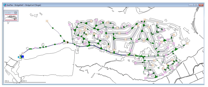
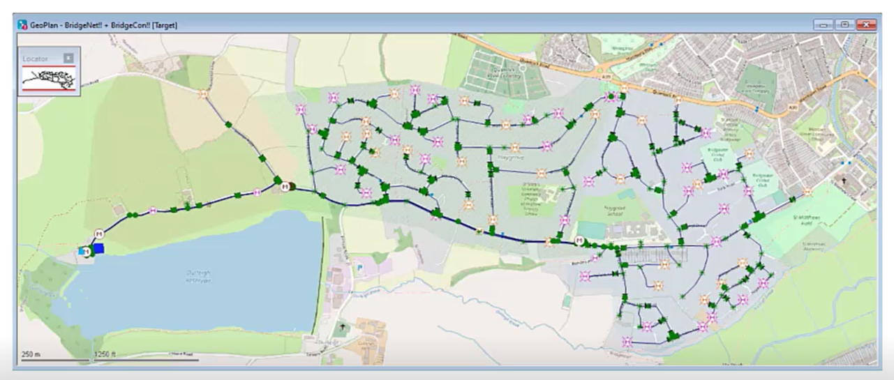
In InfoWorks WS Pro, the GeoPlan window shows a geographical representation of a water supply network. This model view can be displayed over a background layer, such as:
For example, this visualization can be used to see where the network elements are in relation to roads, reservoirs, and buildings.

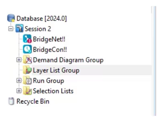
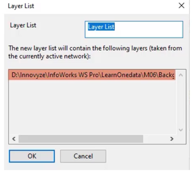
Layer lists, which are sets of one or more background layers, can be saved in the database, and then reloaded later in any model.

Previously used layers are opened each time the network is opened without having to load them into the software each time.

Paths and filenames of layer files are stored in the database and must remain in their specified location to be reloaded. Customizations to background layers are shared with anyone with access to the network.

InfoWorks WS Pro supports multiple file formats, such as:

Background layers are a powerful tool for working with models, as they can provide visual context, and vector layers can be used with queries.