Populating a 3D model from scratch
Transferring the infrastructure project from the real to the digital world involved multiple steps.
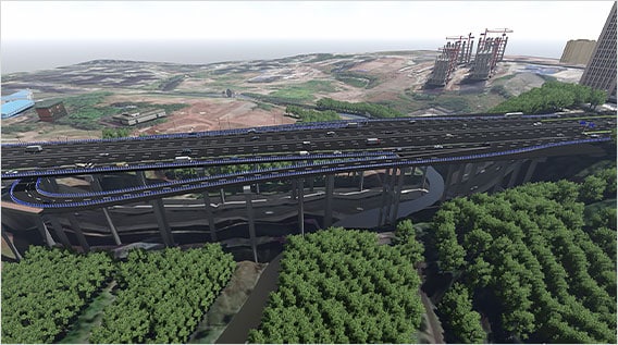
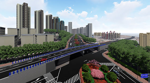
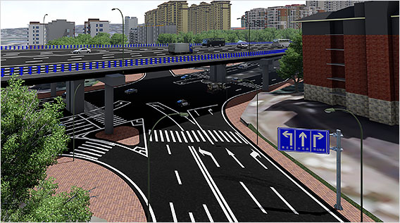
First, the Design Institute had to populate an accurate 3D model. To achieve this, the team uploaded comprehensive tilt drone photographs to Autodesk ReCap. The live 3D model of the reconstruction project worked for reconnaissance and comparison of various model alternatives. Civil 3D also helped with site, route alignment and road subgrade design. Once they exported the data derived from the Civil 3D models into Revit, BIM professionals could factor in structural design considerations for bridges and underground passages. They created the bridge's superstructure by using space coordinate data of proposed design routes generated by Civil 3D. The narrow space constraints for the infrastructure demanded a high level of accuracy at every stage of the process.


