AUTODESK WATER DISTRIBUTION SOLUTIONS

Secure your water's journey

Get the understanding you need to reduce leaks, improve water quality, and deliver positive outcomes to communities.

The insights to protect every drop

Droughts that deplete reservoirs and aquifers. Storms that disrupt treatment facilities and contaminate water sources. Combined with heightened demand, tighter regulation, and aging infrastructure, climate change is putting an immense strain on water distribution utilities to allocate water effectively without compromising availability or quality.

However, by offering unparalleled transparency into your network, our software can help identify the most efficient and resilient ways you can deliver safe, clean water to your customers. We can even help you to systematically identify and eliminate leaks and other sources of non-revenue water.

Software that serves communities and conserves water

Forward-thinking by design

While finding ways to upgrade and utilize existing assets more efficiently is highly valuable, at some point, rising demand calls for capacity expansion–or in some cases, wholly new infrastructure systems.


Autodesk software is tailored to help you strategically design networks for optimal and sustainable water distribution. We offer a cloud-enabled platform with GIS integration that enables you to optimize for cost and scalability, as well as incorporate climate and population projections to ensure long-term asset resilience. 

You can only prepare for what you can model

From predictive maintenance to emergency preparedness, knowledge is power. Any gaps in your data rapidly become huge holes in your forward planning. The ability to comprehensively monitor, visualize, and analyze aspects such as flow and pressure in your network has incalculable value.    


We can help you create an operational digital twin to optimize the performance of your system operations using real-time sensor and field data. With it, you can quickly identify vulnerabilities and opportunities to reinforce system resilience, respond effectively to disruptions, and model future demand to justify capital spend.

Plugging leaks in operational management

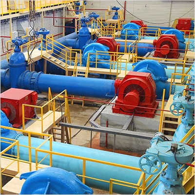
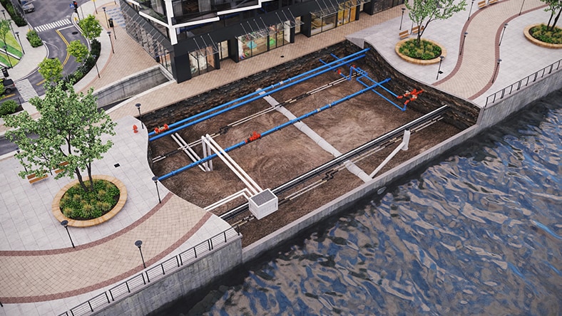
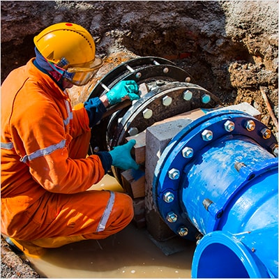
Billions of gallons of treated water are lost every day to leaks and pipe failures. And that’s just from the ones that are known about. Utilities frequently lack a true picture of what is happening in their networks. Even today, major leaks are sometimes still first reported by a phone call–never something you want to happen.


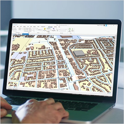
We can help you apply a more data-driven approach that utilizes IoT devices to monitor your water network in real time. You can not only detect leaks, breaches, and irregularities earlier, but even perform analyses to identify likely future points of failure. Plus, with accurate mapping and monitoring data, you are equipped to vastly streamline operations and compliance reporting. 

Facing the water industry mid-life crisis

Time is not a friend to water asset owners. Aging infrastructure and an aging workforce loom large. The average water pipe is already 40-50 years old, as is the average treatment plant operator–with replacements for either coming with a hefty price tag. However, technology offers innovative ways to buy more breathing room.


Our software can help you reduce the pressure on your talent pipeline by automating and simplifying workflows, reducing workloads, and the need for more hires. Similarly, we can help you transform the lifecycle management of infrastructure by helping you prioritize repair and replacement activities and track asset history. With in-built analysis, you can make more effective capital planning decisions and extend asset lifespans network-wide.

See examples of pioneering water distribution projects

When 600,000 customers rely on one risk review

How Hunter Water gets it right, year after year.


Learning lessons: modeling 40+ disaster scenarios

Turning a master meter failure into a strategic success.


36% decrease in leaks with surge analysis.

Davidson Water discovers PVC pipes can’t handle the pressure.


Our key software for water distribution infrastructure

Optimize planning, design, and operations of your water distribution network for ArcGIS Users


Comprehensive and collaborative water distribution analysis and modeling


Real-time operational performance analytics, modeling, and alerting tools in the cloud


Deliver actionable asset condition and risk planning in the cloud


Explore our software learning resources

Get started with InfoWater Pro

From running your first hydraulic model to simulating pump outages, get to grips with InfoWater Pro and its ArcGIS integrations.


Get started with InfoWorks WS Pro

All you need to build hydraulic models of water systems, subject them to different simulations, then learn from a wide range of network analyses.


Dive into water distribution news and developments

WEBINARS

Simplify water system modeling

Get to grips with InfoWater Pro and learn how you can use its ArcGIS Pro integration to support your analyses.


BLOG

Will the world run out of water?

Water may be everywhere, but only 0.5% of it is suitable for drinking. That's going to be a problem.


BLOG

Stemming water loss and leaks

An invisible problem that becomes very visible on the balance sheet. How can you reduce non-revenue water?


View other water industry solutions

Stormwater and flood

Bringing wet weather resilience where it's most needed.


Wastewater collection

Keeping our communities and environments clean.


Operations and Maintenance

Analyzing and optimizing water asset performance.


Treatment plants

Safeguarding water quality for all.


Water distribution frequently asked questions (FAQ)

Who uses Autodesk water distribution software?

Autodesk water distribution software is used by utilities, small to large, consultants, engineering firms, and operators to plan, model, and operate clean water distribution systems across the globe. For more information about specific use cases and customers, explore our case studies with customers (US Site).

Why is GIS data integration is important in water distribution modelling?

Geographic Information System (GIS) (US Site) data is the bedrock of understanding a given network visually and spatially. By utilizing software tools that integrate with and ingest existing GIS data, clean water network models are more accurate to reality. Additionally, as Autodesk’s water distribution software can be and are leveraged to create digital twins of clean water networks, the ability to ingest data types like GIS and SCADA enhance the modeler’s ability to generate precise network outputs.

How can technology help with clean and safe water distribution?

Access to clean water is one of the most existential threats facing humanity. Core to that problem is the ability to understand clean water distribution networks, validate issues, and conduct planning for future demand, among many other processes. Technology like our water distribution modeling software delivers the tools engineers, modelers, and utilities need to solve the challenges of tomorrow, today, facilitating sustainable access to clean water for generations to come. Read more about the value of adopting our cloud-based technology for utilities (US Site).

What is a digital twin for water distribution?

Digital twins of clean water distribution networks (US Site) are accurate-to-reality digital models of pipes, pumps, treatment plants, and other network components that can incorporate live and historical data (SCADA, GIS, etc.) to monitor existing, future, and historical network performance. Both Autodesk InfoWater Pro and InfoWorks WS Pro are leveraged globally to create digital twin models of clean water networks, and can be used in conjunction with Autodesk’s cloud-based Info360 analytics tools for further live data analysis.

See more FAQ

Interested in how our software can help your water workflows?

Connect with an expert who can walk you through our software and how it can help your firm plan, design, maintain, and operate effective water distribution infrastructure.