Roads and highways design

Drive digital transformation to address the evolving demands of roads and highways.

Highway and tunnel in the Alps, Austria

Meet growing road and highway demands

As the road and highway industry accelerates and digitalizes, the need for new Building Information Modeling (BIM) processes and project complexity intensifies. With Autodesk tools and partner capabilities, you can design across all required disciplines of a road or highway project. BIM helps improve collaboration and generate deeper insights to make more informed decisions. The right products allow you to:

  • Aggregate and visualize design data.
  • Identify design conflicts and clash detection.
  • Deliver automation and improve design quality.
  • Increase stakeholder buy-in.
  • Collaborate and coordinate across multi-disciplinary project teams. 

Road and highway solutions

Digitize your project lifecycle

Seamlessly connect the plan, design, and build phases to the handover in your project lifecycle. Learn how digital workflows give you and your teams the freedom and efficiency to create, aggregate, and collaborate with high-quality designs.

Gain better outcomes with BIM for civil

Stay one step ahead of the competition with BIM and industry demands with integrated civil engineering workflows. From plan to handover, BIM allows you to seamlessly move and review data across stakeholders and the lifecycle of a project. 

Why Autodesk for better road and highway design

Boost win rate

Enable solutions to scale your business and stay competitive with digitally mature workflows.

Manage project complexity

Allow teams to seamlessly communicate, collaborate with the same data, minimize rework, and meet complex project requirements.

Improve collaboration

Give teams the tools they need to efficiently collaborate from across disciplines and time zones. Create, visualize, automate, and instantly modify designs with the most up-to-date models.

Reduce overall design time

Increase productivity to allow more time and energy for innovation, design reviews, enhance design, and business growth.

See how firms are transforming today's roads and highways

BIM for the Havelland Autobahn extension

For the A10/A24 Autobahn, a busy trans-European transportation axis, BIM enhanced planning, execution, and maintenance.


Complex highway reconstruction

BIM and Autodesk technology helped achieve the complicated Wutaishan interchange project, part of a major highway reconstruction in Chongqing.


Test driving a smart city

The Municipality of Genoa obtained a fully navigable and immersive reality model of building and underground utilities.


Autodesk roads and highways products

Powerful BIM and CAD tools for designers, engineers, and contractors, including Revit, AutoCAD, Civil 3D, Autodesk Forma, and more


Cloud-based design co-authoring, collaboration, and coordination software for architecture, engineering, and construction teams. “Pro” enables anytime, anywhere collaboration in Revit, Civil 3D, and AutoCAD Plant 3D.


Civil engineering design and construction documentation


Geospatial and engineering BIM platform for planning, design, and analysis


Reality capture and 3D scanning software and services


Navisworks Manage, Navisworks Simulate software and the Navisworks Freedom 3D viewer for 5D analysis, design simulation, and project review.


Webinar: The road ahead is digital

In this webinar, a team of roads and highways industry experts discuss trends, opportunities, BIM, and day-to-day challenges so you can realize better project outcomes.

See the latest innovations in roads and highways

ARTICLE

Pothole-patch solutions

These six companies are using bacteria, sensors, magnets, and more to make roads around the world safer for drivers.


ARTICLE

Recycled plastic roads

Dutch startup PlasticRoad is producing next-gen sustainable infrastructure: roads made out of recycled plastic.


ARTICLE

Smart roads in France

Road traffic in the Île-de-France region surrounding Paris is evolving toward greener forms of transportation, such as car sharing, e-bikes, and trams.


ARTICLE

Europe’s first sustainable highway

In Rotterdam, Netherlands, learn how a sustainable highway can ease congestion without without harming the environment.


Explore related industries

Rail

With reduced complexity and increased quality, deliver best-in-class rail infrastructure.


Transportation

Empower your transportation workforce to achieve greater resilience and stability.


Frequently asked questions (FAQs)

What is road design?

Road and highway design is a branch of civil engineering. Roadway design considers the location, alignment geometry, and expected use of the roadway. Roadway design and engineering is primarily responsible for providing a geometric sound (horizontal and vertical alignment) and safe (considering speed, traffic usage, and environment) roadway that can account for the material quantities required to build the road, as well as the effects on the surrounding environment.

How are roads designed and who designs roads and highways?

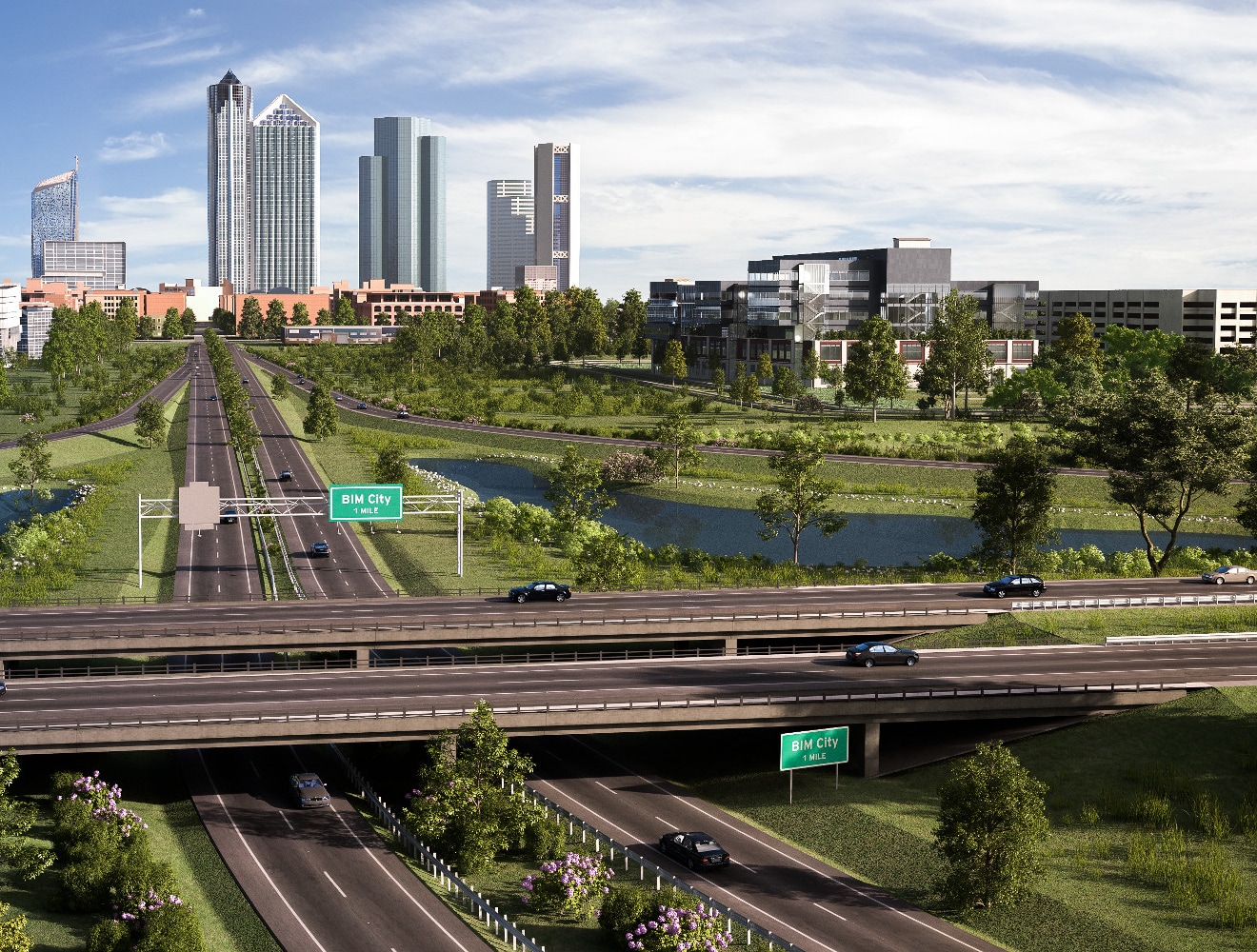
Roadways are characterized by their classification and expected usage. Roads are designed based on projected daily traffic volumes, vehicle types, operational speed, and safety factors.


Owners and stakeholders will generally determine the roadway usage, environmental impacts, and preferred alignment location. Engineering service providers (ESPs) are generally responsible for developing final details of the road which include the horizontal and vertical geometry, the construction quantities, the cost estimate, and final plans and specification to be implemented during construction.

Who uses roads and highways design software?

Owners, planners, and stakeholders use design software to determine existing conditions, evaluate maintenance operations, and assess alignment alternatives. Owners, ESPs, and general contractors also use engineering software to determine efficient design details and construction details to implement during the construction of the roadway project.

What are the benefits of using road design software?

Roadway design software can offer a large variety of benefits. Engineers can create dynamic design models and evaluate design alternatives. They can use the design models to create construction plans and calculate material quantities for construction based on models generated in the software. They can create geometry reports to help the contractor implement the design intent in the field during construction. The contractor can then use digital design files in the field to locate the exact position and geometry of the roadway element to expedite the construction process. This helps to reduce errors and rework, and reduce overall risk.

What key challenges can Autodesk software help overcome in road and highway design?

With Civil 3D, engineers are able to create a dynamic corridor model to determine the volume of materials and the effects of a roadway model. They can also optimize the roadway alignment, cross slope, and pavement depth using the Rehab corridor feature in Civil 3D (ideal for rehab corridors). These tools and features help minimize waste and optimize construction resources.

What are the factors of design road safety and how Autodesk software can help?

Roadway safety factors include operational (design) speed, clearance distance to the roadway, pedestrian activity, traffic volumes, roadway hazards, and design vehicle usage. Autodesk software offers a number of tools and features to help engineers and designers meet the safety and design requirements. Design and safety criteria is built into the design software and helps identify critical areas of the project. The software aids in producing an efficient model that is geometrically sound and includes the safety factors required.

What Autodesk software is used to design roads and highways?

The Autodesk AEC Collection offers the platforms, tools, and features to effectively and efficiently design any roadway project. Specifically, Civil 3D helps create a detailed roadway corridor with the correct geometry, quantities, and design details. Autoturn allows designers to evaluate design vehicle movements relative to the roadway. With Project Explorer, engineers and designers can create comprehensive reports regarding many different factors within the design model.

What essential software does Autodesk have to build roads and highways?

The model created by Civil 3D can be used with construction equipment and with many other third-party platforms used during construction. Contractors can use a terrain model taken from Civil 3D and grade a site based on the design. The same can be done with final design details during construction.

Can AutoCAD be used for road design?

AutoCAD can be used for roadway design. However, it is recommended that engineers use the tools within Civil 3D (which expands the functions of AutoCAD) to create a complete roadway model.

See more FAQ

Let's talk roads and highways

Contact us to learn more about how Autodesk can help drive digital transformation in your roads and highways projects.