& Construction

Integrated BIM tools, including Revit, AutoCAD, and Civil 3D
& Manufacturing

Professional CAD/CAM tools built on Inventor and AutoCAD
Import a GIS shapefile.
Tutorial resources
These downloadable resources will be used to complete this tutorial:
Location data can be imported into InfoDrainage from several different sources and in different orders. Geographic Information System, or GIS, data in the Shapefile (SHX) format is commonly imported into drainage models.
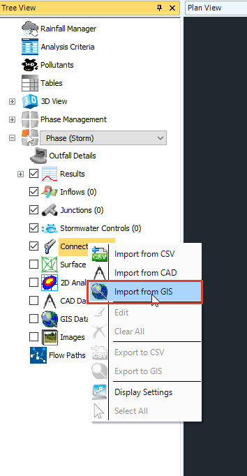
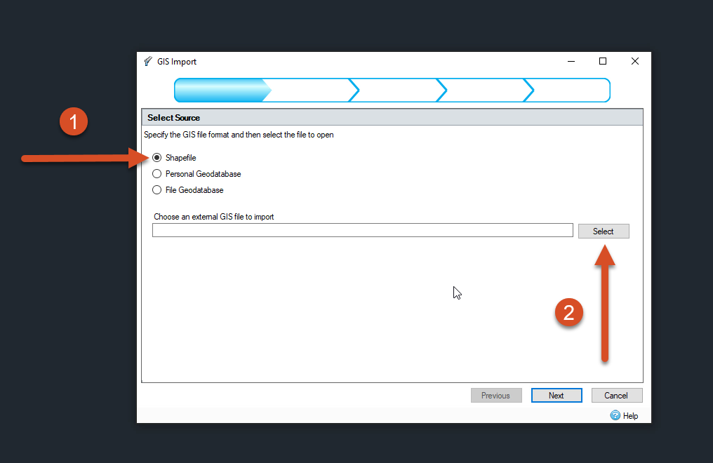
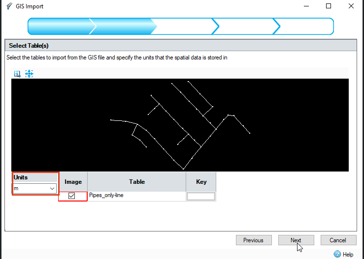
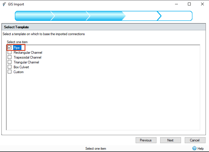
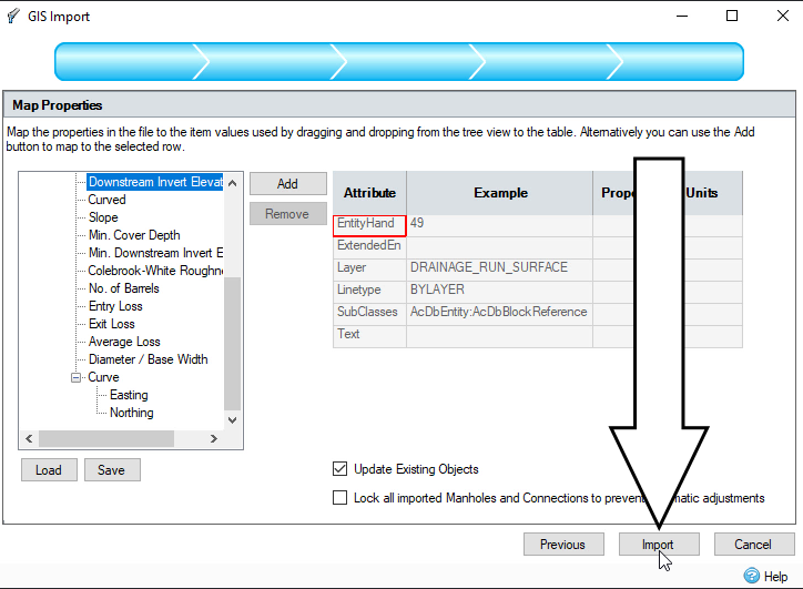
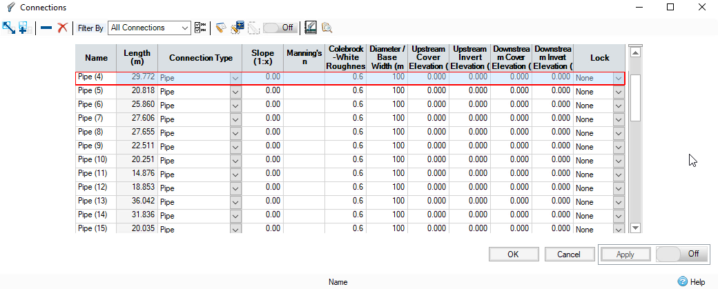
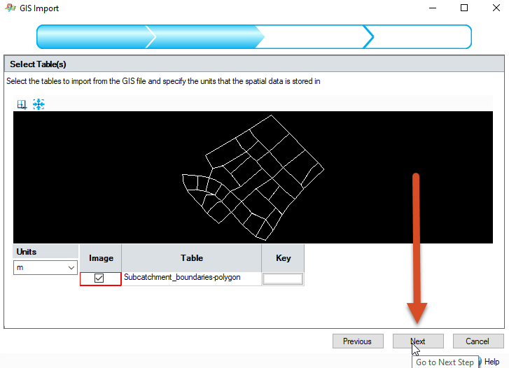
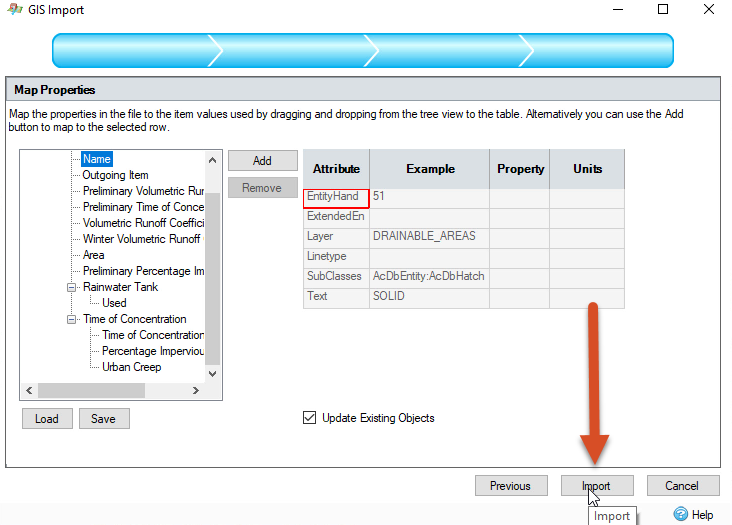
Note: importing different datasets does not need to happen in a certain order.