Civil 3D
Protected by reCAPTCHA and the Google Privacy Policy and Terms of Service apply.

ALERT:

A trial download is not available for your operating system.

Select your trial

Which product would you like to try?

Here are a few things to know before you start the download:

AVAILABLE PLATFORMS

    See system requirements

    TRIAL FILE SIZE (estimated maximum)

    RECOMMENDED

    10 Mbps Internet connection.
    Turn off all active applications, including virus checking software


    Just need to view a file?

    You don't need to download the software.
    Get a free tool to open and view files.

    Let's get started

    I will be using this software as:

    Start a trial

    Get full access to all capabilities and features free for 30 days.

    Operating system:

    Choose your operating system:

    This software may not be compatible with your operating system, but you can download it for installation on a different machine.

    Choose your language:

    Good news

    Autodesk provides software for students and educators worldwide. Free educational access is only for educational purposes. For-profit use requires a paid subscription plan.

    Get verified for educational access to Autodesk products

    Confirm your eligibility with SheerID today.

    Download Fusion 360 for personal, hobby use.

    Get a free, limited version of Fusion 360 for home-based, non-commercial projects. Need full features and functionality? Select ‘A business user’ then click next for a free 30-day trial of Fusion 360.

    Phone number verification

    To help verify your account, a unique code will be sent to your phone.

    Enter phone number

    Select verification method

    VOICE (CALL) SMS (TEXT)

    Enter code sent to phone number ending with Resend

    Code is valid for 10 minutes VERIFY

    Code is incorrect, please retry.

    Tell us about your company:

    All fields are required unless noted.

      Please select your country of residence:

      This helps us give you the correct trial terms. Some countries require us to provide country-specific terms based on where you live.
      Protected by reCAPTCHA and the Google Privacy Policy and Terms of Service apply.
      Your download has started.
      When complete, locate the download file on your computer. Run the install to start your trial.

      InfraWorks
      Geospatial and engineering BIM platform for planning, design and analysis
      DOWNLOAD NOW

      Revit
      Plan, design, construct and manage buildings with powerful tools for Building Information Modelling.
      DOWNLOAD NOW

      Navisworks Manage
      Control outcomes with clash detection and advanced coordination, 5D analysis and simulation tools.
      DOWNLOAD NOW

      Webinar: What’s New in Civil 3D and InfraWorks (2022)—27 Apr.2021. REGISTER NOW

      Features

      Civil engineering design and documentation software

      Experience more efficient workflows for surface modelling, corridor modelling, site design, storm and sanitary, and plan production and documentation with Civil 3D® civil engineering design software.

      • Video: BIM 360 lets you extend all project data to stakeholders for greater visibility and more informed decision-making

        Collaboration for Civil 3D

        Securely access Civil 3D files, data shortcuts and xrefs from multiple locations and companies, all in a common data environment. (video: 2 min.)

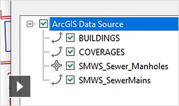
      • Video: Having rich GIS data via the Connector for ArcGIS helps civil engineers make better design decisions

        Connector for ArcGIS

        Streamline the flow of data between ArcGIS and Civil 3D. Access the latest data and keep features information up to date. (video: 1:55 min.)

      • Dynamo for Civil 3D

        Use the Dynamo visual scripting environment to develop routines that automate repetitive design tasks and expedites workflows. (video: 1.16 min.)

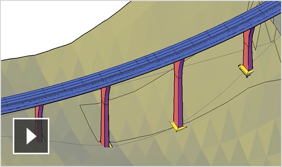
      • Video: New bridge design workflow with InfraWorks, Civil 3D and Revit

        Bridge design

        Co-ordinate workflows more efficiently across the various disciplines working on complex bridge design projects. (video: 2.44 min.)

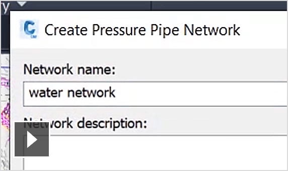
      • Video: Streamlined pressure network layout and editing

        Pressure network

        Use enhanced tools for more efficient pressure pipe network layout and design. (video: 2.02 min.)

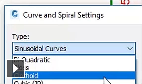
      • Video: More efficient layout and design for transit and rail projects

        New public transport and rail design features

        Expanded toolkit for transit and rail design including spiral, dynamic alignments, profiles and superelevation design. (video: 2.41 min.)

      Surface modelling

      • Point clouds

        Use and display point cloud data.

      • Surface creation from point cloud data

        Create TIN surfaces from point cloud data.

      • Design surface creation

        Use tools to create dynamic surfaces.

      Site and survey

      • Parcel design

        Automated parcel design tools.

      • Grading

        Terrain models for grading.

      • Relative level feature lines

        Obtain feature lines from a surface or relative to a surface, so feature lines update with changes to the surface.

      Corridor modelling

      • Corridor design

        Tools for corridor modelling.

      • Advanced roundabout design

        Bring new roundabout designs into Civil 3D.

      • Extract corridor feature line workflow

        Easily extract multiple feature lines.

      Storm and sanitary

      • Gravity pipe networks

        Tools for sanitary and storm drainage systems.

      • Storm and sanitary analysis software

        Dynamic models enable stormwater management.

      • Analyse gravity networks

        Measure pipes and inverts to HEC-22 2009 standards.

      Plan production and documentation

      • Plan and profile sheet generation

        Create plan and profile sheets by including multiple plan or profile views on a single sheet.

      • QTO and earthwork calculations

        Extract and report material volumes and analyse quantities from materials and sectional or profile information.

      • Construction documentation

        Generate annotated production plans.

      Interoperability

      • Corridor data shortcut (DREF)

        Create and share data shortcuts for corridors.

      • 3ds Max interoperability

        Create professional-quality visualisations.

      • IFC import and export

        Import and export AutoCAD solids to IFC files.