Civil 3D
Protected by reCAPTCHA and the Google Privacy Policy and Terms of Service apply.

ALERT:

A trial download is not available for your operating system.

Select your trial

Which product would you like to try?

Here are a few things to know before you start the download:

AVAILABLE PLATFORMS

    See system requirements

    TRIAL FILE SIZE (estimated maximum)

    RECOMMENDED

    10 Mbps Internet connection.
    Turn off all active applications, including virus checking software


    Just need to view a file?

    You don't need to download the software.
    Get a free tool to open and view files.

    Let's get started

    I will be using this software as:

    Start a trial

    Get full access to all capabilities and features free for 30 days.

    Operating system:

    Choose your operating system:

    This software may not be compatible with your operating system, but you can download it for installation on a different machine.

    Choose your language:

    Good news

    Autodesk provides software for students and educators worldwide. Free educational access is only for educational purposes. For-profit use requires a paid subscription plan.

    Get verified for educational access to Autodesk products

    Confirm your eligibility with SheerID today.

    Download Fusion 360 for personal, hobby use.

    Get a free, limited version of Fusion 360 for home-based, non-commercial projects. Need full features and functionality? Select ‘A business user’ then click next for a free 30-day trial of Fusion 360.

    Phone number verification

    To help verify your account, a unique code will be sent to your phone.

    Enter phone number

    Select verification method

    VOICE (CALL) SMS (TEXT)

    Enter code sent to phone number ending with Resend

    Code is valid for 10 minutes VERIFY

    Code is incorrect, please retry.

    Tell us about your company:

    All fields are required unless noted.

      Please select your country of residence:

      This helps us give you the correct trial terms. Some countries require us to provide country-specific terms based on where you live.
      Protected by reCAPTCHA and the Google Privacy Policy and Terms of Service apply.
      Your download has started.
      When complete, locate the download file on your computer. Run the install to start your trial.

      InfraWorks
      Geospatial and engineering BIM platform for planning, design and analysis
      DOWNLOAD NOW

      Revit
      Plan, design, construct and manage buildings with powerful tools for Building Information Modelling.
      DOWNLOAD NOW

      Navisworks Manage
      Control outcomes with clash detection and advanced coordination, 5D analysis and simulation tools.
      DOWNLOAD NOW

      Webinar: What’s New in Civil 3D and InfraWorks (2022)—27 Apr.2021. REGISTER NOW

      CIVIL 3D FOR SITE DESIGN

      Generate comprehensive and more accurate designs

      Get your projects off the ground quickly with tools to help you to prepare and shape ground surfaces for carriageway, subdivision and other site projects.

      Site design

      What you can do with Civil 3D

      • Video: Silent screencast of wireframe being overlaid on data points from survey

        Survey

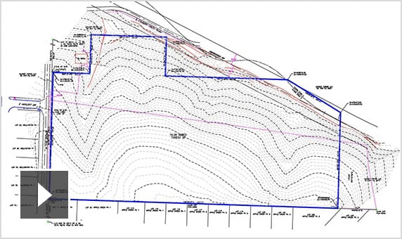
        Download, create, analyse and adjust survey data. Streamline the transfer of field-captured data to and from the office. (video: 11 sec.)

      • Video: Silent screencast of context modelling being applied to 2D wireframe

        Terrain modelling

        Create comprehensive digital models of ground topography for studies such as land-use feasibility, transportation system planning and water flow simulations. (video: 14 sec.)

      • Video: Silent screencast of a 3D model for a subdivision corridor being generated from a 2D wireframe

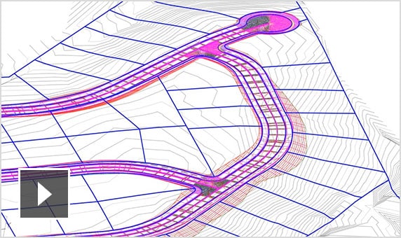
        Corridor modelling

        Create dynamic and data-rich corridor models for designs such as residential roads, kerbs and footpaths, swales within a subdivision and car park design. (video: 10 sec.)

      • Video: Silent screencast showing path analysis of subdivision and use of the AutoDrive ribbon

        Vehicle tracking

        Use swept path analysis to speed up planning and evaluate safety standards compliance. Animate vehicle paths with 2D or 3D animations using multiple camera angles. (video: 20 sec.)

      • Conceptual drawing of silo corridor gravity system in Civil 3D user interface

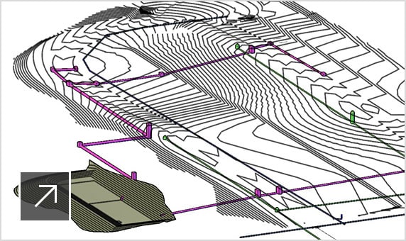
        Stormwater and sanitary sewer

        Model storm and sanitary sewer systems. Analyse networks to resize pipes, reset inverts and compute energy and hydraulic gradient lines according to HEC-22 standards.

      • Video: Silent screencast showing use of the storm and sanitary analysis tool in Civil 3D

        Stormwater analysis

        Integrate stormwater and wastewater analysis during planning and design of urban drainage systems, storm and sanitary sewers. (video: 39 secs)

      • Video: Silent screencast showing use of the pressure pipe toolspace in Civil 3D

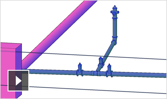
        Pressurised utilities

        Lay out horizontal and vertical 3D design of pressure networks. Model deflected-bend segments and use design and depth checks to meet project standards. (video: 11 sec.)

      • Video: How Dynamo for Civil 3D helps land and site developers save time and increase efficiencies in their workflows

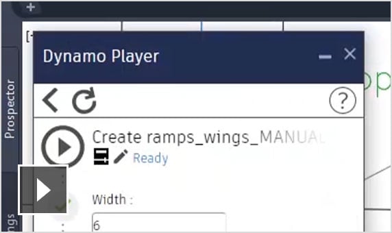
        Design automation

        Use a visual programming application to generate scripts that automate repetitive and complex tasks. Save these scripts in a library and reuse them as needed. (video: 1.49 min.)

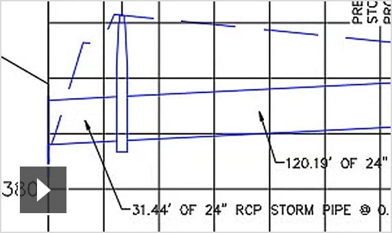
      • Video: Silent screencast showing some of the materials and quantities tools in Civil 3D

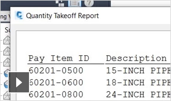
        Materials and quantities

        Use materials and sectional or profile information to create reports for volumes along an alignment, comparing design and existing ground surfaces and quantity take-off. (video: 13 sec.)

      Workflows and use cases

      • Video: Quickly lay out features of the site plan, analyse and update designs and visualise progress at all stages

        Civil 3D + ReCap + InfraWorks

        Leverage conceptual designs to improve site project layout, site grading and drainage design. (video 1.49 min.)

      • Video: The Autodesk AEC Collection gives you connected tools for better site and building co-ordination

        Civil 3D + Revit + InfraWorks + Navisworks

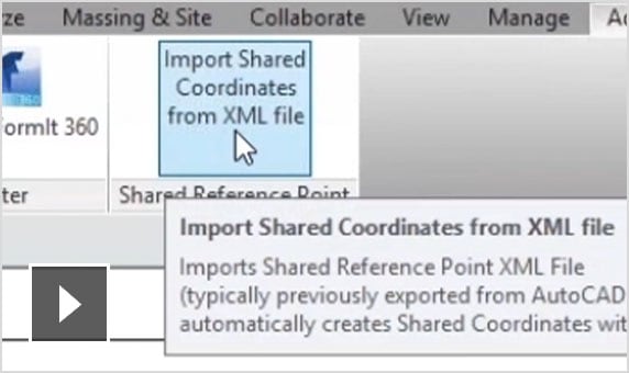
        Share co-ordinate systems to improve co-ordination between architects and civil engineers. (video 1.59 min.)

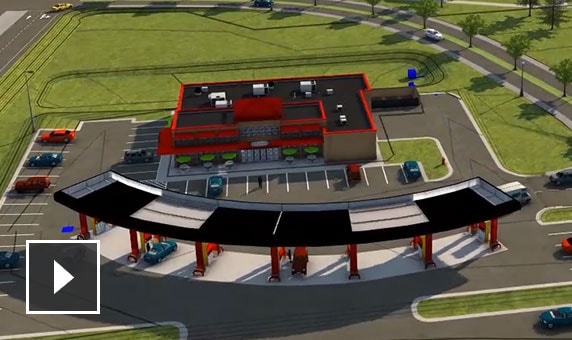
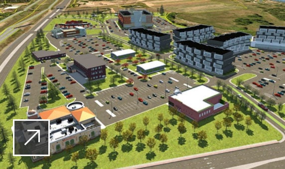
      • Rendering of commercial development model with offices, retail space, flat buildings, parking and roads

        Keys to effective context modelling

        The aggregation of LiDAR, drone data, GIS and other data sources is critical to generating a real-world context model of your project.

      See how people are using Civil 3D for site design

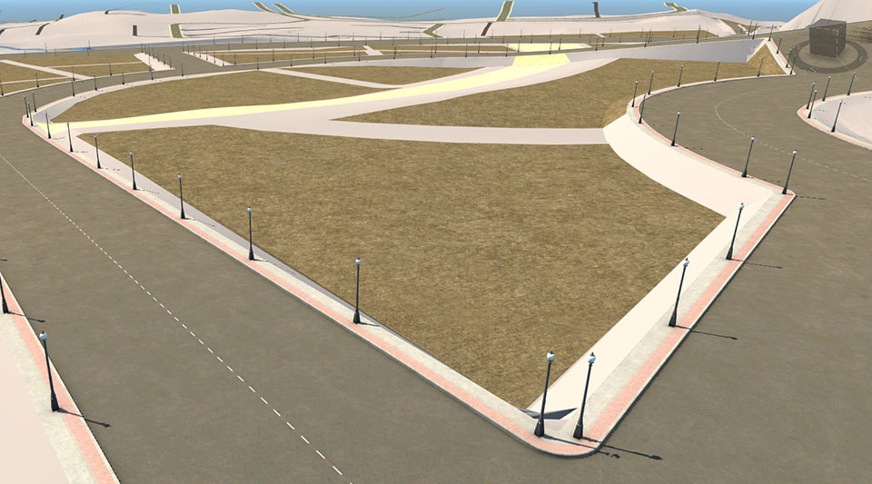
      Model of greenfield site development created for township in Kuala Lumpur WDI STUDIOS

      WDI STUDIOS

      Modelling civil works faster, cheaper

      WDI Studios had just three weeks to interpret raw survey data, model civil works and visualise improvements to reduce site development costs.

      Image courtesy of WDI Studios